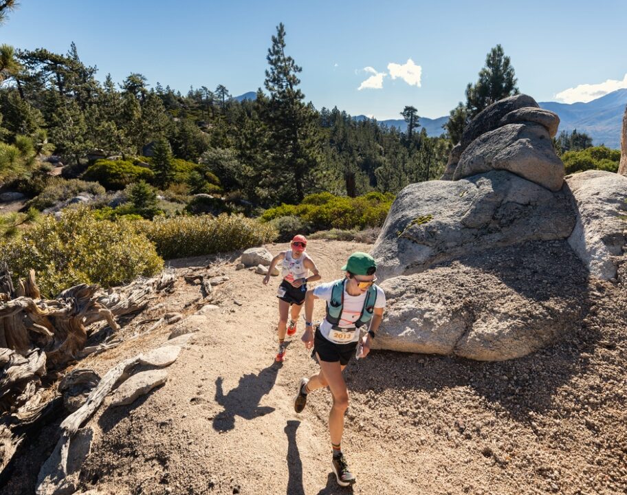



GPS watches make it easy for trail runners to record distance, pace, elevation and routes, but the numbers aren’t always perfectly accurate. You might finish a familiar 10km trail and see 9.6km on one run and 10.3km on another, even though you followed exactly the same route. Trail environments are particularly challenging for GPS devices. Tight switchbacks and rapidly changing directions can make distance calculations even more difficult. GPS data is still extremely useful for trail running, but it works best when treated as an estimate rather than an unquestionable measurement. Understanding what affects accuracy can help you interpret your training data more sensibly.
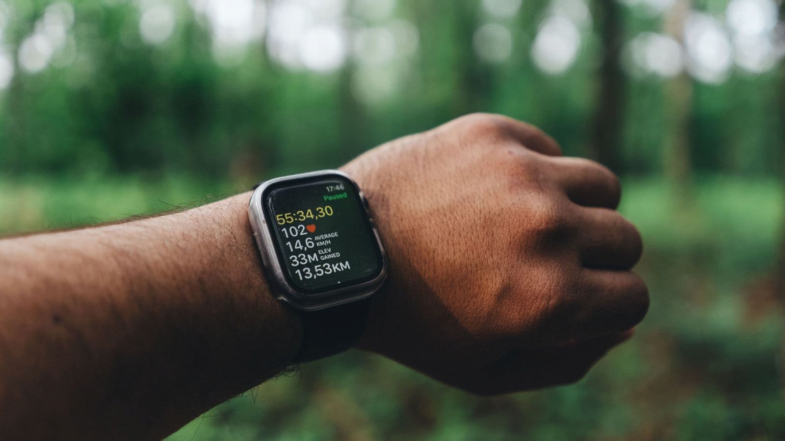
In Short
- Trees can weaken satellite reception.
- Mountains and valleys can block parts of the sky.
- Cliffs can cause signals to reflect.
- Tight turns are difficult for GPS to track precisely.
- Your watch’s satellite settings matter.
How Does GPS Track a Trail Run?
A GPS running watch determines your location using signals transmitted by navigation satellites.
As you move, the device repeatedly estimates your position. It then uses those recorded points to calculate information such as:
- Distance.
- Speed.
- Pace.
- Route.
- Elevation.
The better your watch can determine each position, the more accurately it can reconstruct your route. Problems occur when satellite reception becomes weak, obstructed or inconsistent.
Dense Tree Cover Can Reduce GPS Accuracy
Forests are one of the most common challenges for trail runners. Your watch may then place individual GPS points slightly away from your actual path.
Over an entire run, these small errors can affect:
- Total distance.
- Instant pace.
- Route shape.
- Segment times.
This doesn’t necessarily mean your watch is faulty. The environment may simply make satellite positioning more difficult.
Mountains Can Block Satellite Signals
GPS works best when your device has a clear view of a large portion of the sky. Mountainous trails can significantly reduce that view.
If you’re running:
- Beside a steep mountain.
- Through a narrow valley.
- Below large cliffs.
- Inside a canyon.
some satellites may become unavailable to your device. The watch then has fewer useful signals from which to estimate your location.
Cliffs Can Cause Signal Reflections
A satellite signal doesn’t always travel directly to your watch. In mountainous environments, signals can reflect from cliffs, rock faces or other large surfaces before reaching your device. This is commonly known as multipath interference. Because the reflected signal travels farther, your watch may calculate your location incorrectly.
The result can appear as:
- Sudden jumps on your route.
- Strange zigzags.
- Incorrect pace readings.
- Extra or missing distance.
These errors are particularly noticeable when viewing your route on a map after the run.
Tight Switchbacks Are Difficult to Measure
Trail routes often contain repeated sharp turns. Your watch records positions at intervals rather than continuously drawing every centimetre of your movement. If you run through several tight switchbacks, the recorded points may effectively cut across some corners. That can make the GPS-recorded route slightly shorter than the actual path you travelled. This is one reason distance and pace become less useful for judging effort on highly technical trails.
Running Speed Can Influence Track Detail
The faster you’re moving, the farther you travel between position measurements. On a straight road this may not matter much. On a winding technical trail, however, rapid changes in direction can be more difficult for the device to reconstruct accurately. Trail runners working on how to run a faster trail 10k should therefore avoid assuming that every instantaneous pace change shown by a watch accurately represents their real speed.
Satellite Mode Matters
Modern running watches may support several satellite systems and tracking modes.
Depending on the device, options can include:
- GPS.
- GLONASS.
- Galileo.
- Multi-GNSS.
- Dual-frequency or multi-band positioning.
Using more satellite systems can improve positioning in difficult environments because the watch has access to additional signals. However, higher-accuracy modes may use more battery. Before changing anything, check which satellite options your specific device supports.
Wait for GPS Lock Before Starting
Starting your run before your watch has established a reliable satellite connection can affect the beginning of your recorded route.
Before pressing start:
- Go outdoors.
- Move away from large buildings when possible.
- Select the activity.
- Allow the watch to establish satellite positioning.
- Begin once it indicates readiness.
This is particularly useful when beginning a run close to dense forest or steep terrain.
Watch Placement Can Matter
Your running watch needs a reasonable view of the sky. Normally wearing it on your wrist works well, but covering it heavily with clothing may potentially make signal reception more difficult in already challenging environments. During cold-weather trail runs, avoid unnecessarily burying the device beneath multiple thick layers if accurate GPS tracking is important. For runners training through winter conditions, how can you maximize winter training for peak running performance can help balance technology use with the practical demands of cold-weather training.
Instant Pace Can Be Unreliable on Trails
Instantaneous GPS pace can fluctuate considerably.
You may see your watch suddenly display:
- 5:00/km.
- 6:30/km.
- 8:00/km.
even though your effort hasn’t changed dramatically. This can happen because pace is being calculated from relatively small changes in GPS position. Trail terrain makes these fluctuations more likely.
Instead of reacting to every instant-pace number, consider:
- Lap pace.
- Average pace.
- Heart rate.
- Perceived effort.
- Time.
Understanding why runners should not rely on their training data is especially important on trails, where environmental factors can make apparently precise numbers less reliable.
Elevation Can Also Be Inaccurate
Distance isn’t the only measurement that can vary. Elevation gain is extremely important to trail runners, but different devices may report different totals for the same route.
Elevation can be estimated using:
- GPS altitude.
- Barometric altimeters.
- Map-based elevation correction.
Each method has limitations.
A watch with a barometric altimeter may provide useful elevation information, but changes in atmospheric pressure can also affect readings.
Why Can Two Watches Record Different Distances?
Two runners can complete the same route together and finish with different distances on their watches.
Possible reasons include:
- Different GPS chipsets.
- Different satellite modes.
- Different recording settings.
- Different antenna designs.
- Small differences in running lines.
- Temporary signal loss.
A small discrepancy doesn’t necessarily mean one watch is correct and the other is wrong.
Both are estimating a real-world route using imperfect measurements.
Technical Terrain Makes Pace Less Useful
Trail difficulty isn’t reflected by distance alone. One kilometre across smooth dirt may take only a few minutes, while one kilometre containing rocks, steep climbing and obstacles can take considerably longer. This is why training purely according to GPS pace can be misleading.
Understanding how does elevation gain improve trail running performance helps explain why vertical gain and terrain difficulty can provide valuable context alongside distance.
Use Effort on Difficult Trails
When GPS conditions are poor, perceived effort becomes especially useful.
Ask yourself:
- Is my breathing controlled?
- Can I maintain this effort?
- How fatigued do my legs feel?
- Is the terrain causing the slower pace?
For aerobic training, maintaining the intended effort matters more than forcing your watch to display a predetermined pace. Runners using what is zone 2 running can combine heart rate, breathing and perceived exertion instead of relying entirely on GPS pace.
Trail Conditions Affect Your Real Pace Too
Not every unexpected pace change is a GPS error.
Your actual speed can change significantly because of:
- Mud.
- Snow.
- Rocks.
- Water crossings.
- Steep gradients.
- Poor visibility.
If your pace is slower than expected, consider the environment before blaming your watch. This becomes particularly important during winter, when how can snow training improve trail running performance can involve conditions where pace and distance become less meaningful measures of workout quality.
GPS Accuracy Matters for Navigation
Small GPS errors are usually little more than an inconvenience when reviewing training data. Navigation is different. If you’re relying on a watch or phone to navigate an unfamiliar trail, never assume the electronic route is perfectly precise. Carry appropriate navigation resources and know how to use them, particularly in remote areas.
GPS should support good navigation skills rather than replace them.
Battery Saving Modes Can Reduce Detail
Long-distance trail runners often need their watches to last for many hours. Some devices offer battery-saving GPS modes that reduce how frequently positioning information is recorded. This can extend battery life, but there may be a trade-off in track detail or accuracy. Ultrarunners should test these settings during training before relying on them during a major event. Athletes preparing through how to train for your first 50 mile ultramarathon should make battery management part of their equipment preparation rather than discovering watch limitations on race day.
Can You Improve GPS Accuracy?
You can’t remove mountains or forests, but several simple habits may help.
Before and during your run:
- Update your watch software when appropriate.
- Allow the device to establish satellite positioning.
- Select the most appropriate satellite mode.
- Keep the watch reasonably exposed.
- Avoid unnecessary battery-saving GPS modes when accuracy matters.
- Give the device time to reconnect after signal loss.
Always follow the manufacturer’s instructions for your particular device.
Don’t Correct Your Running Based on One GPS Reading
Suppose your planned easy trail run is 10km but your watch records 9.7km. Running an extra 300 metres around the car park simply to make the number perfect may not provide any meaningful training benefit. Likewise, don’t accelerate just because GPS pace suddenly drops.
Your body responds to the work you actually performed, not the final number displayed on your watch.
Time Can Be More Reliable Than Distance
For trail running, duration can sometimes be a better training target than precise mileage.
For example:
- 45-minute recovery run.
- 90-minute aerobic trail run.
- Two-hour long run.
Time remains accurate even when GPS positioning becomes unreliable. Runners following what is the best way to train for long trail runs can use duration alongside terrain and elevation to judge training load more realistically.
Compare Trends Rather Than Individual Runs
GPS data becomes more useful when viewed across many sessions.
Instead of worrying about one strange run, look for longer-term patterns in:
- Distance.
- Duration.
- Elevation.
- Heart rate.
- Training consistency.
- Perceived effort.
If one recording looks dramatically different from everything around it, environmental or device-related error may be the explanation.
Wearable Technology Should Support Training
Running watches provide useful information, but more data doesn’t automatically create better training.
Use GPS to:
- Record routes.
- Monitor approximate distance.
- Review elevation.
- Track long-term trends.
- Support navigation.
But continue developing your ability to judge effort without constantly checking your wrist. Learning how can you get the most out of wearable tech for trail running can help you use the information productively without allowing imperfect measurements to dictate every workout.
Common Mistakes
- Expecting perfect GPS accuracy on every trail.
- Starting before satellite lock.
- Chasing fluctuating instant pace.
- Assuming every pace change is a GPS error.
- Ignoring elevation and terrain.
- Using battery-saving modes without testing them.
- Depending entirely on GPS for remote navigation.
- Adding distance just to correct a watch reading.
Practical Tips
- Wait for satellite lock before running.
- Choose appropriate GPS settings.
- Keep your watch reasonably exposed.
- Judge technical runs by effort.
- Use average pace rather than obsessing over instant pace.
- Consider elevation alongside distance.
- Test battery settings before long races.
- Review trends instead of individual GPS errors.
Actionable Takeaways
GPS accuracy during trail running is affected by far more than the quality of your watch. Dense forests, mountains, cliffs, valleys and tight switchbacks can all make satellite positioning more difficult, while device settings and recording modes can introduce additional differences.
You can improve your chances of getting useful data by allowing your watch to establish a satellite connection before running and choosing appropriate tracking settings.
Use GPS as a useful training tool rather than an absolute authority. Your effort, time, terrain, elevation and long-term training trends often tell you more about the quality of a trail run than whether your watch measured every metre perfectly.
FAQs
Forests, mountains, cliffs and valleys can obstruct or reflect satellite signals, making it harder for your device to calculate an exact position.
Yes. Dense tree cover can weaken or interfere with satellite reception, particularly when combined with mountainous terrain.
Signal obstruction, tight turns, recording settings and small positioning errors can cause your recorded distance to differ from the actual route.
Different devices may use different hardware, satellite systems, recording methods and algorithms, resulting in slightly different measurements.
Average pace can still be useful, but instantaneous pace may fluctuate considerably on trails because of both GPS limitations and rapidly changing terrain.
Not always. Elevation estimates can vary depending on whether the device uses GPS altitude, a barometric altimeter or map-based corrections.
Yes. Allowing your watch to establish a satellite connection before starting can help improve the accuracy of the beginning of your recorded route.
It can on some devices. Certain battery saving modes reduce GPS recording frequency or change satellite use, which may reduce track detail.
GPS pace can provide useful information, but effort, terrain, elevation and heart rate may be more useful on technical trails where pace changes constantly.
GPS can be a valuable navigation aid, but runners in remote terrain should have appropriate backup navigation resources and shouldn’t assume electronic positioning will always remain available.